Santa Ana Volcano (2381 m / 7812 ft), the tallest volcano in El Salvador, is located about 40 kms south of Santa Ana. My wife and I climbed the volcano on February 15 of this year (2025) and I decided to write a brief story about our experience since almost all of the information that I had found online about the hike is no longer necessarily accurate.
- Getting to the Trailhead
- Arrival at El Tibet
- Fees and General Information
- The Hike
- Returning to Santa Ana
- Rating and Notes
- Summary
Getting to the Trailhead
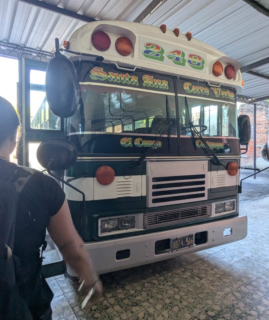
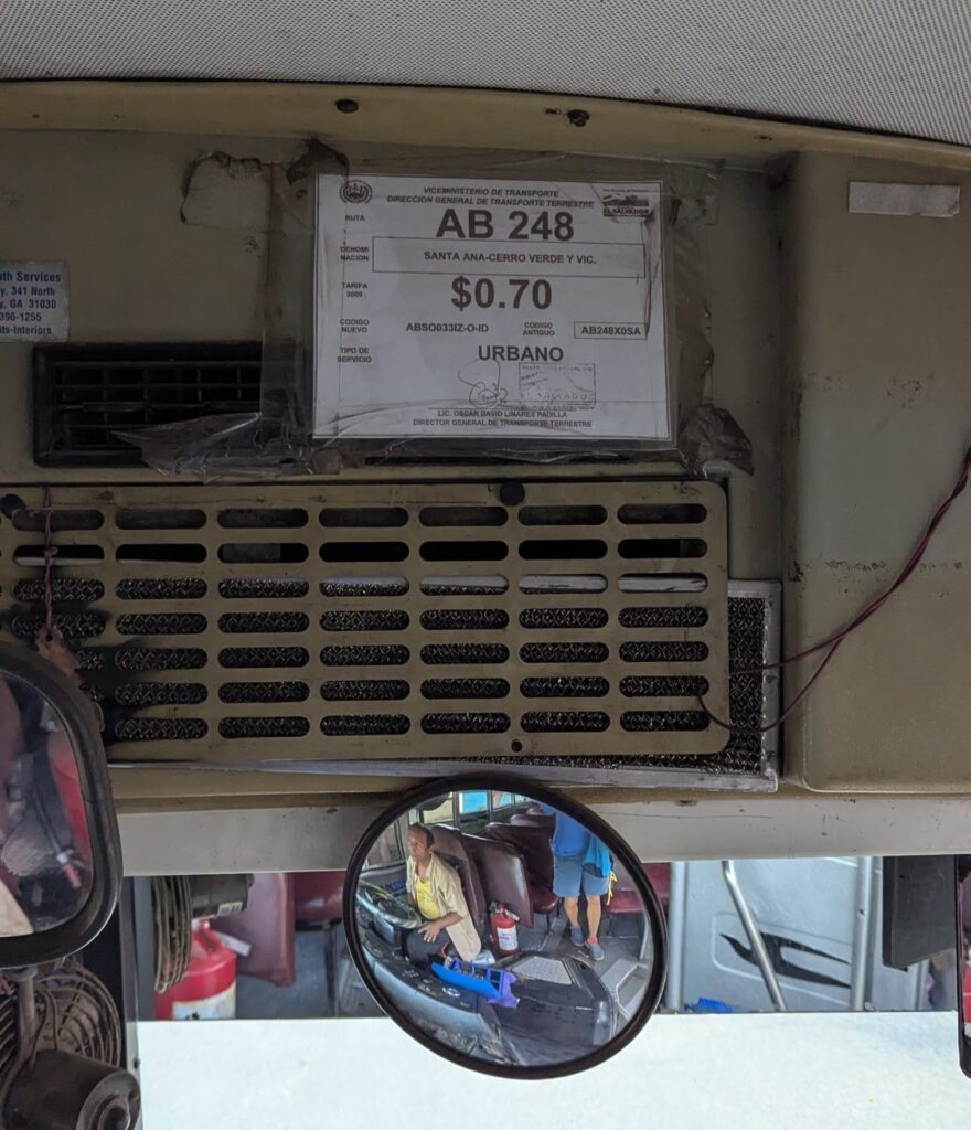
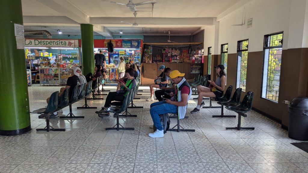
Thanks to several Google searches, we knew that we could reach the trailhead by “chicken bus” from Santa Ana. The departure point (the Sala de Espera y Abordaje), bus number (248), and price ($0.70, not $0.90) that I discovered online were all correct. The current departure time, however, is 7:40 a.m. (not 7:30 or 7:45). Tip: You do not board the bus on the street outside of the station but rather in the parking lot “behind” the station, so if you want to be one of the first to get on, hang out near the left-hand corner of the waiting room (as seen from the entrance).
The day we traveled, quite a few people boarded with us but no one had to stand. Even if you do have a seat, however, if you are fairly tall as I am (I’m 1.87 cm / 6’2″), don’t expect to have much leg room. Furthermore, as the bus slowly made its way to the volcano, it did end up getting rather crowded at one point, so be prepared for standees to lean on you if you are in an aisle seat.

Arrival at El Tibet
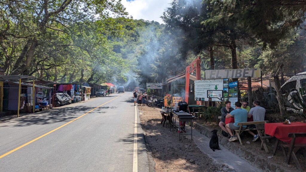
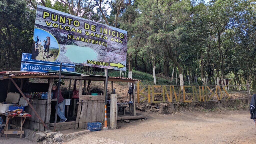
I had also read online that only some people choose to disembark at “El Tibet” (which was essentially referred to as an optional starting point) and that if you do get off there you might have trouble finding a “mandatory” guide there. As far as I can tell, however, El Tibet is now the “official” starting point. When we arrived at that stop (at about 9:40), for example, only a couple of locals(?) got off the bus but then a random(?) passenger announced that we were at the starting point for the climb, so all of us gringos disembarked as well. We were immediately greeted by some guides who told us to gather just inside the “torii” (that red, Japanese-style gate that is visible in the picture above) so that’s where we went.
Fees and General Information
The guides then slowly started to explain the payment and hiking process to us, mostly in Spanish. The main points of that brief orientation are as follows:
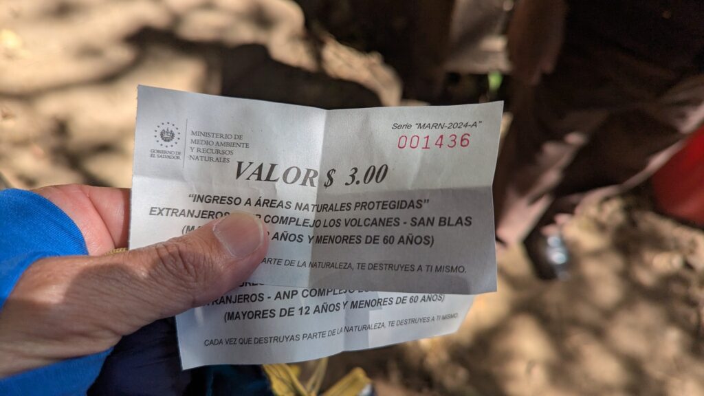
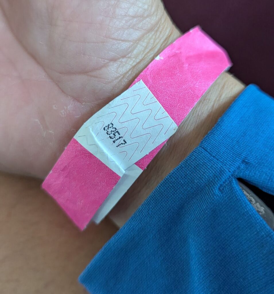
- You need to pay the following three fees: $3.00 for the “mandatory” guide, $0.50 for (something or other that I didn’t catch), and $3.00 for the entrance fee to the park, for a total of $6.50. You pay the first $3.50 on the spot, after which you are given a wristband (to prove that you indeed paid those two fees).
- You pay the second $3.00 about 10 minutes after leaving the gathering point, when you reach the ticket office / park entrance / trailhead.

- There is one guide for every 15 people or so, and the guides plan to climb at different paces. In our case, there were roughly 45 hikers, so we had 3 guides (who hiked at a fast pace, medium pace, and slow pace). You are free to join whichever group you want, but the guides will try to keep the groups evenly sized.
- You are not allowed to enter the trail with alcohol or cigarettes (including vapes?) and are told to leave them in the parking lot if you have any. We had neither so I don’t have any information with regard to where to leave them if you have them.
- If you are in the fast group, as we were, you are essentially guaranteed to complete the hike with time to spare to catch the 1:15 pm bus back to Santa Ana. In other words, you should be able to complete the hike in about 2.5 hours.
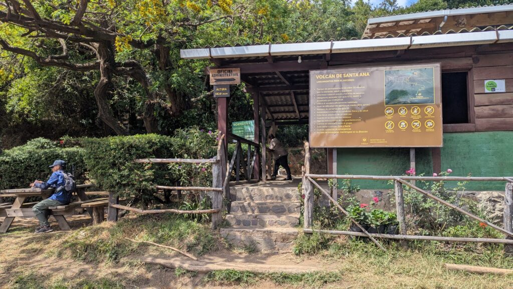
The Hike
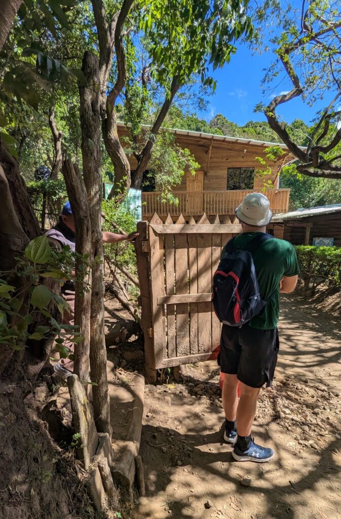
There is a gate at the exact trailhead and there was a “guard” standing there. His job is to inspect your bag(s), if you have any, presumably for alcohol and cigarettes, both of which are prohibited on the trail, and to take your $3.00 entrance ticket once your group starts to climb. Note: If you attempt to climb without a group, as did the guy in the green shirt and white hat (aka “Mystery Guy” aka “MG”), the guard (probably?) won’t let you go past the gate (even if you have a wristband showing you paid for a guide, as did MG). In other words, if you aren’t part of a group, “join” one and you’ll be able to do the hike. MG joined our group so he could begin the hike and then took off on his own. (Our guide initially called him back to the group but then let MG proceed solo after a quick chat with him.)
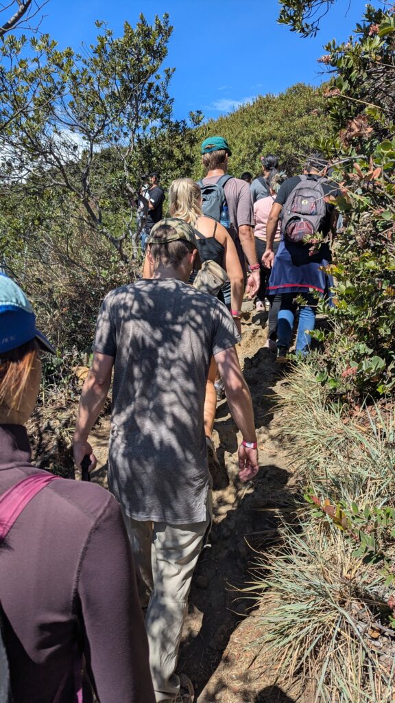
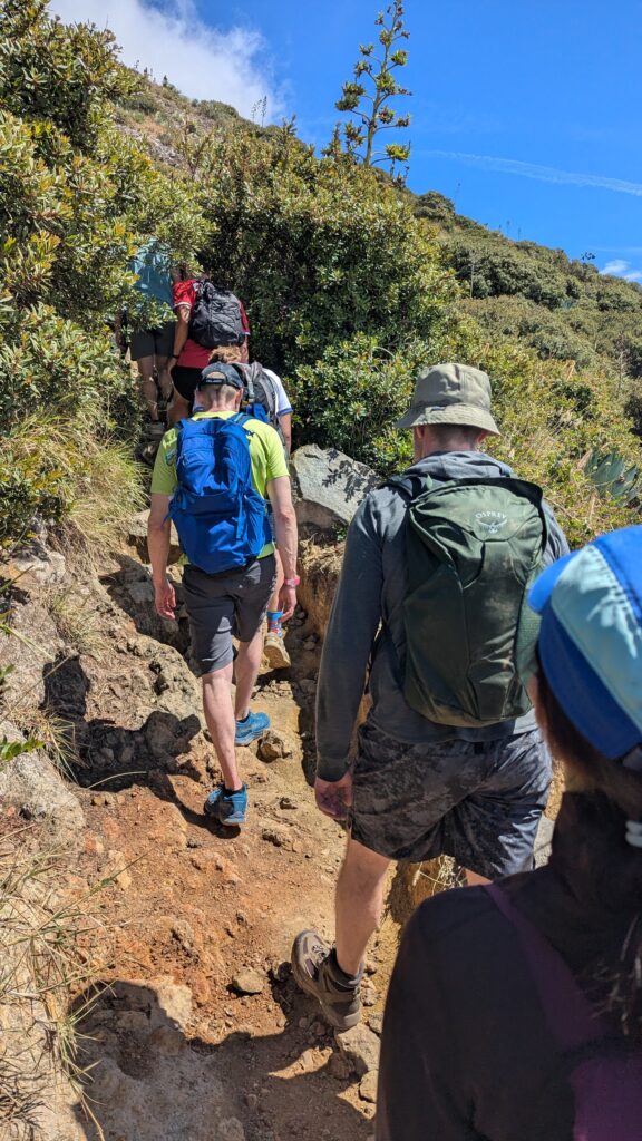
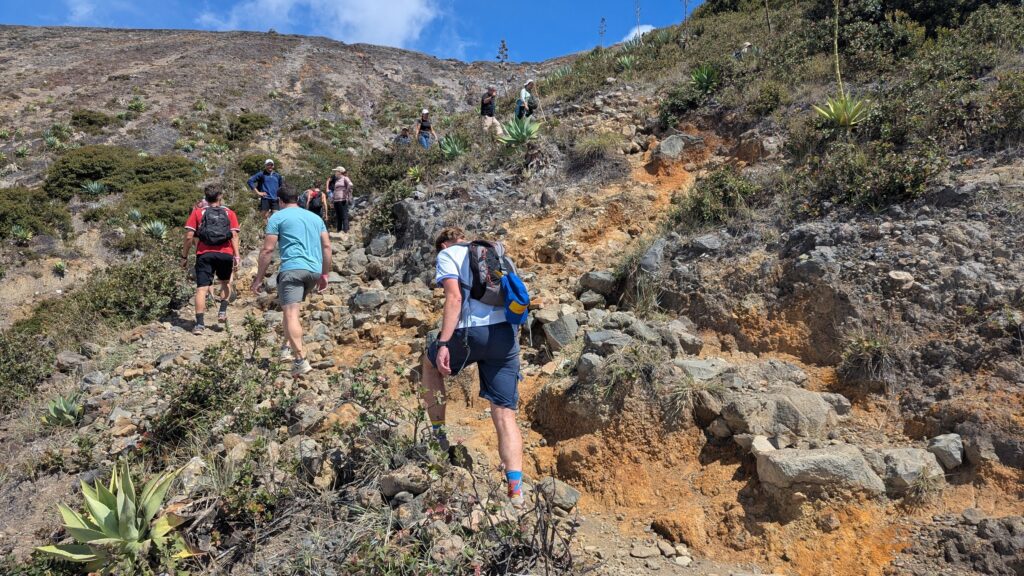
The day we hiked, the trail was packed, so even though we were in the fast group, we constantly got stuck behind traffic (in far less dramatic but equally frustrating fashion as those guys you’ve undoubtedly seen climbing Everest!) and therefore often advanced at a snail’s pace. Maybe it was just one of those days?
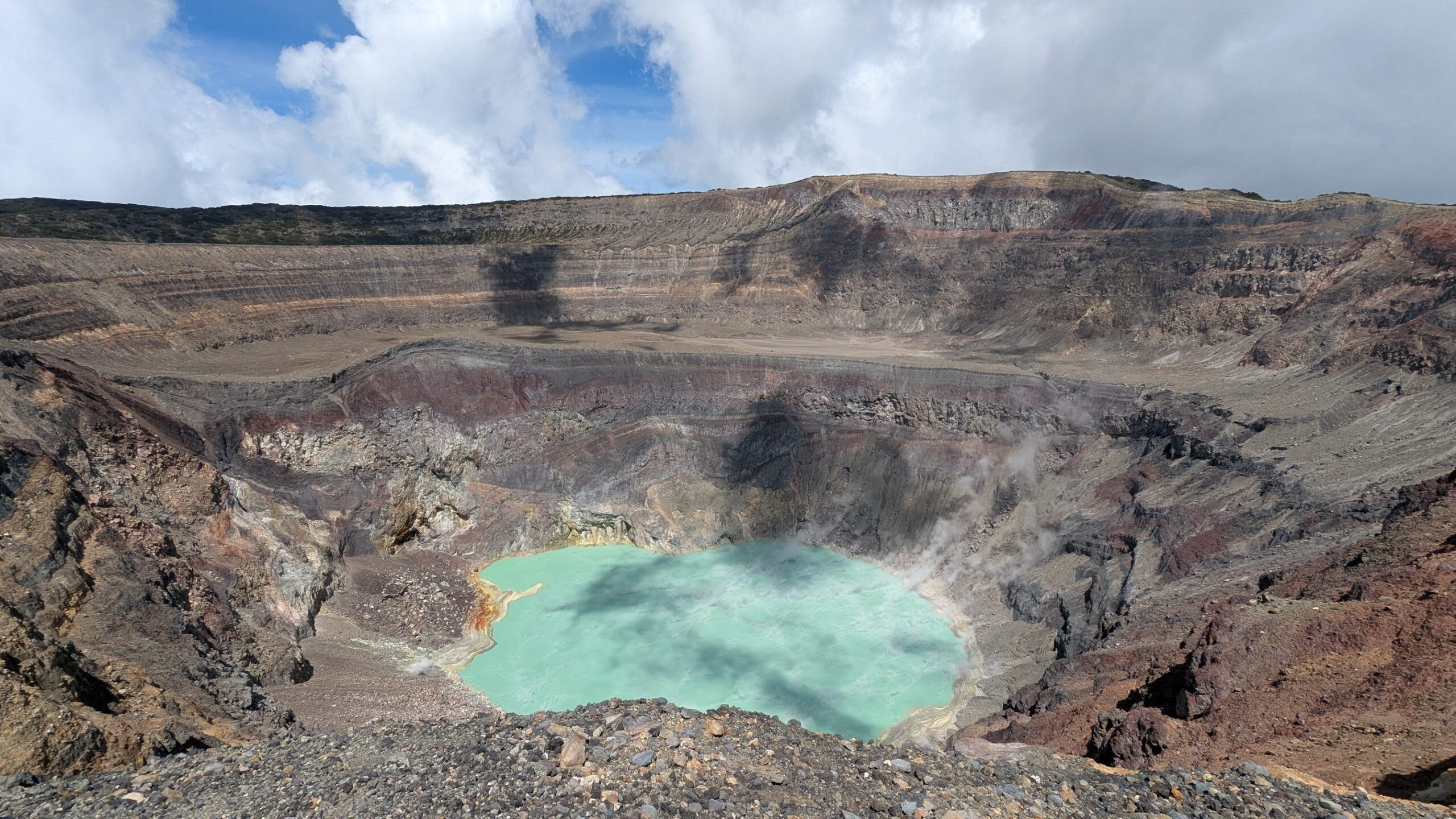
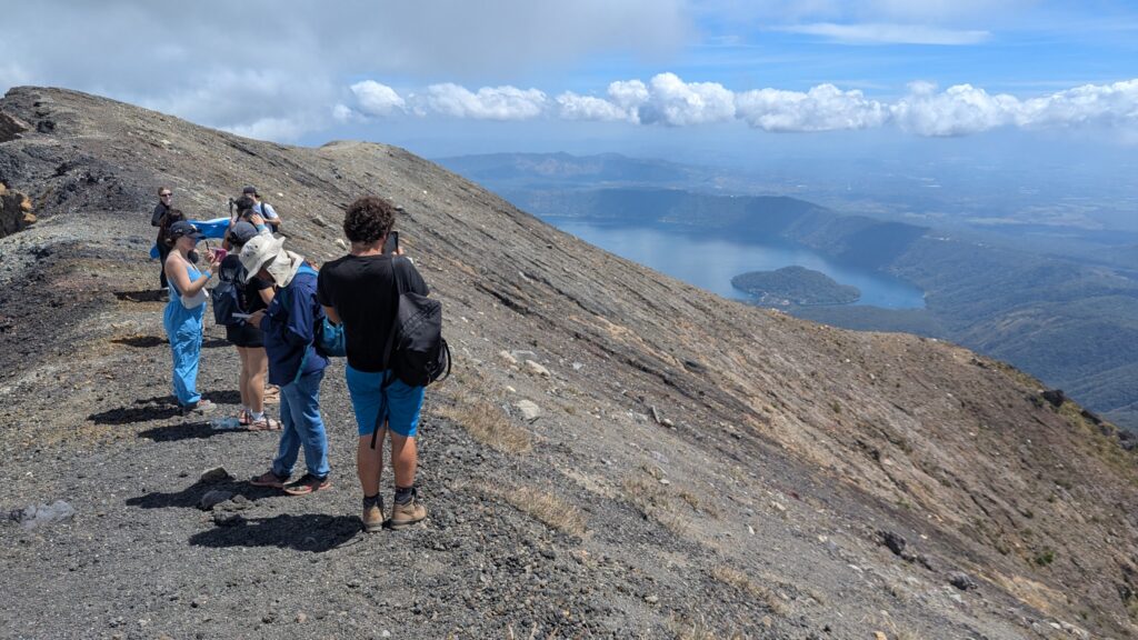
We started the hike (from the gate) at 10:15 and reached the summit at 11:20. We then then spent roughly 25 minutes taking pictures, enjoying the scenery, chatting with some of the other 200(?) hikers, and saying hi to a very frail looking coyote!
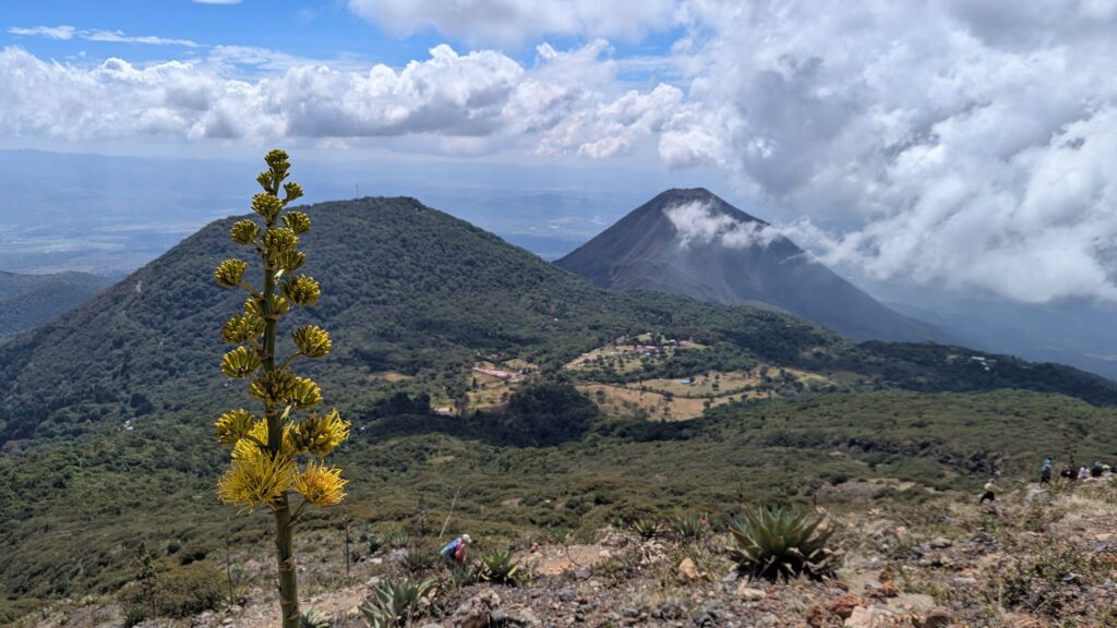
During the descent we took a lot more pictures, including several of Volcan de Izalco, which towers in the background, and a few of Lake Coatepeque.
We reached the bottom at about 12:35, which means it took us about 50 minutes to descend. There was even traffic heading downhill, although not nearly as much as on the way up, so subtract the crowds and you can probably make it back to the ticket booth in 40 minutes!

Returning to Santa Ana
Even though we arrived at the bus stop about 30 minutes before it was scheduled to arrive (directly opposite the drop-off point), the hike felt hurried and was indeed extremely crowded, so be prepared for that possibility. Then again, keep in mind that if you go much slower than we did, you might have to catch the next bus, which does not show up until 4 pm and “only” goes to El Congo (in which case you have to transfer to a second bus from there, assuming you want to return to Santa Ana).

Tip: Depending on how many people are waiting for the bus back to Santa Ana, you might consider jumping on the bus on its way to Cerro Verde (it should arrive at around 1 pm) to ensure that you get a seat. We didn’t do that, but if you do I assume you won’t have to pay for the last tiny bit of the “outbound” journey to the national park.
Rating and Notes
Overall I rate the hike a 6 out of 10 on the epicness scale (the views are very good but not incredible and the hike is too short to be worth more than that) and an 8 out of 10 on the easiness scale (very easy for experienced, fit hikers).
We had read that you might see police officers on the trail and we actually did see two, but since there was absolutely ZERO danger (other than the normal risks involved with hiking) we’re not really sure what they were doing there.
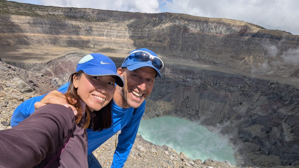
Take a look at the pictures and you’ll see that most hikers, including us, had relatively small backpacks and no special hiking gear, which should reinforce the idea that this is a very easy hike. A few people did have poles and several had hiking boots, but you don’t need either to accomplish this hike.

Also, since the hike is relatively short, you won’t need to bring much food or water. In case you end up hungry and/or thirsty, however, there are plenty of places at El Tibet where you can eat and drink, and there was even a guy selling ice cream at the summit. You won’t find anything for sale along the way, though.
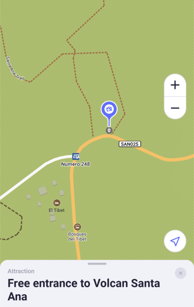
Other notes: We saw the following notation on Maps.me: “Free entrance to Volcan Santa Ana,” but we now believe that information is misleading, old, or both, but please correct us if we’re wrong!
- 1) Perhaps that means by taking that path you can bypass the parking lot (where you are given the orientation, pay the $3.50, and get a wristband) and simply show up at the park entrance (ticket booth) where you “only” pay the $3.00 (thereby saving the other $3.50).
- 2) Although I did wear my wristband for the entire hike, my shirt sleeve covered it up and I was never asked to show it, including at the gate where they take your $3.00 ticket.
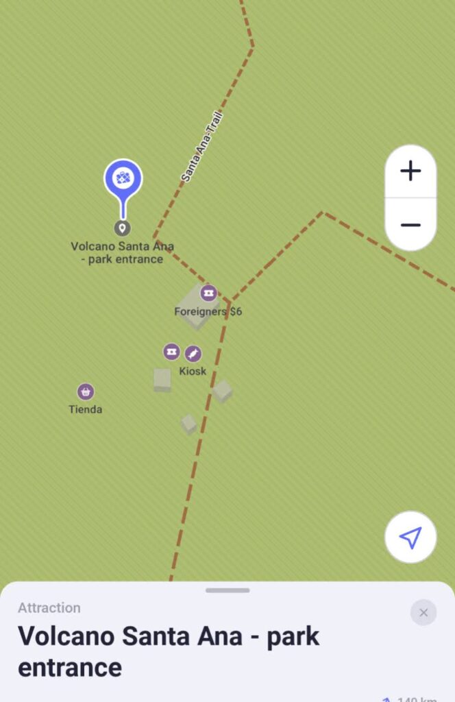
- 3) After the climb, we took that path “backwards” from the ticket booth (marked on maps.me as “Volcano Santa Ana – park entrance” and “Foreigners $6”) to the point on maps.me that I mentioned above (“Free entrance to Volcan Santa Ana”) and did not see any other paths (or just didn’t notice them?) and therefore do not understand the “Crossing to (xxx)” notation on the map.
Summary
- Bus in each direction: 2 hours, more or less (7:40-9:40)
- Time of orientation (from moment you exit bus until everyone has paid): 20 minutes (9:40-10:00)
- Time to walk from El Tibet to the park entrance: 5 minutes (10:00-10:05)
- Time waiting for your group to start hiking after arriving at ticket booth: 10 minutes (10:05-10:15)
- Time to hike to summit from the ticket booth: 1.0-2.0 hours (10:15-11:20)
- Time at top: 20-40 minutes on average (11:20-11:45)
- Time to hike back down to the ticket booth: 40-60 minutes (11:45-12:35)
- Bus departure times: 1:15 pm for Santa Ana; 4:00 pm for El Congo (and then transfer to Santa Ana)
- Total cost per person: $7.90, including bus fare (unless you transfer)
Please leave a comment if you have any corrections, updates, or other information you’d like to add! Thank you!